

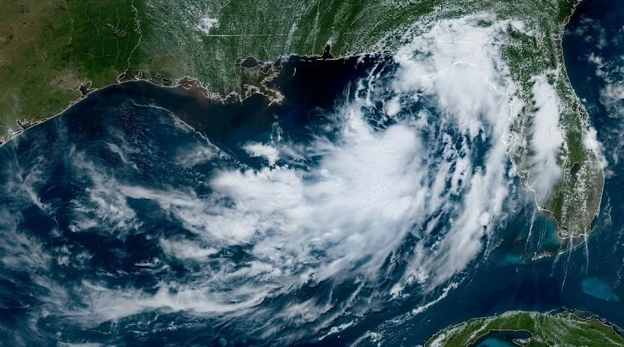
There’s a strange rule that comes with tropical storms: the worst of the damage rarely stays where the storm goes. Tropical Storm Bertha proved that all over again this week. By the time it weakened into a tropical depression Thursday evening that is July 23 before dissipating overnight into Friday, it had already handed off its real punch to a stretch of the country more than 800 miles from where it actually made landfall.
Bertha Makes Landfall Twice

Tropical Storm Bertha, named after a storm of the Atlantic hurricane season, came together in the Gulf of Mexico on July 20 causing landfall twice. The storm pushed ashore near St. Bernard Parish, Louisiana within two days. It never really got the chance to strengthen. Wind shear picked at it from above the whole way in and kept most of its rain and punch stranded over open water instead of dumping it on land. Louisiana got off easy, some high waves, a bit of coastal flooding, and dangerous rip currents. Nothing worse.
The storm then crawled west along the coast. It came ashore a second time on Thursday afternoon, near the Texas-Louisiana line, before losing steam and turning into a depression by nightfall. Beach towns barely noticed. Galveston officials had one message for residents: tie down anything loose, because it’s going to be a windy day. That was about the extent of it. Tour boats ran on schedule. Not one hotel got a cancellation. “It seems like a normal day,” one hotel employee said. “Restaurants are clicking. Everything’s great.”
Florida saw the real damage. In Pensacola, part of the beach boardwalk was ripped away. Authorities ordered the closure of a part of the beach due to strong winds that threw the Waffle House sign over a car in Panama City Beach. SpaceX called off Thursday evening’s Starship test flight out of South Texas, with heavy cloud cover from Bertha getting the blame. The launch ended up happening the following day instead, once conditions cleared up.
The Real Story Was 800 Miles Away
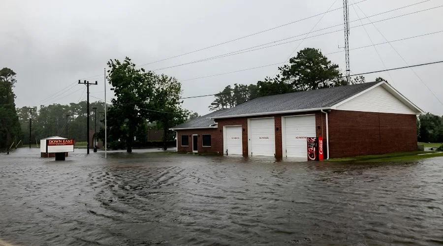
Bertha was falling apart over Texas. But moisture it had pulled off the Gulf was already drifting east, and it caused more trouble there than the storm ever did on the coast. That moisture ran into a slow-moving front sitting over southern Virginia, the Carolinas, and northern Georgia. The front stalled out. Heavy rain kept hitting the same ground for days.
Northern Alabama and Georgia got hit with storms on July 24, with some areas seeing close to two inches of rain. Birmingham and Atlanta both had flash flood warnings issued. Meanwhile, forecasters were already watching a Level 2 out of 4 flood threat along the Carolina coast – one that extended inland far enough to reach Sumter, South Carolina and Fayetteville, North Carolina. On top of that, a broader Level 1 risk covered everything from western South Carolina down through the lower Mississippi Valley, lasting through the weekend into Saturday.
The timing is rough for anyone traveling through the region this weekend. The Southeast badly needs the rain, severe to extreme drought has left the ground dry for months. But dry, packed soil can’t soak up water fast. Rain that falls too quickly just runs off instead. Anything over 2 inches an hour can turn a street into a river. Some spots could see more than 4 inches of rain, close to a full month’s worth in a single day. Myrtle Beach, a summer travel staple in South Carolina, averages just 5.40 inches for all of July, one storm could nearly match that on its own.
This wasn’t a Friday development. The trouble actually started on Wednesday morning, when storms moved through north of Knoxville, Tennessee, dropping 5 inches of rain in only a few hours and setting off flash flooding in the area. The situation then moved into North Carolina by nightfall, with flash flood warnings covering Greensboro and Winston-Salem, some spots there saw up to 6 inches of rainfall in a 12-hour window. Luckily, the damage stayed minimal, largely because the rain came down at a pace the ground could actually keep up with.
What It Means If You’re Headed That Way
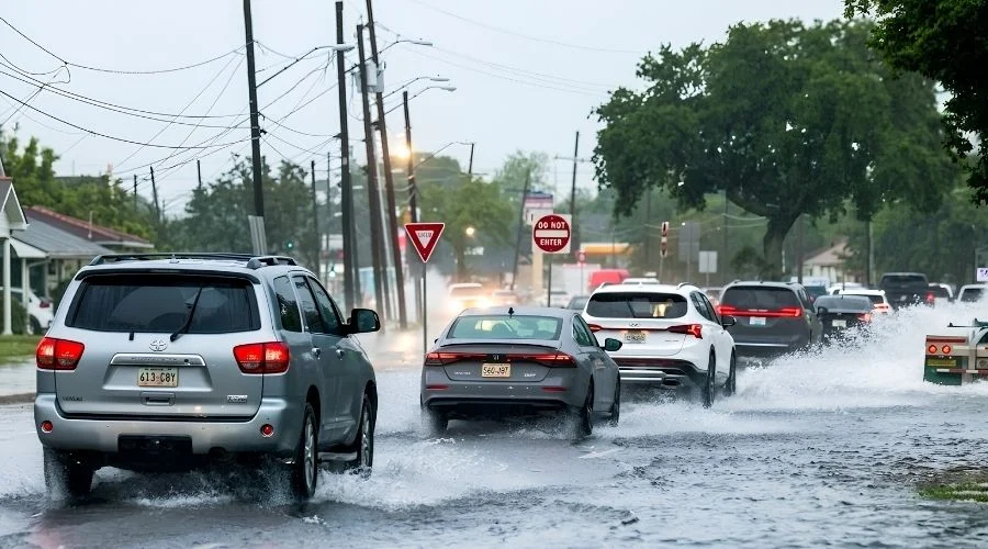
If you’ve got weekend plans that take you through the Southeast, plan on padding your travel time. Highways running through North Carolina, upstate South Carolina, and northern Georgia have already had at least one shutdown this week, and forecasters aren’t expecting the flood threat to ease up until Saturday. Coastal zones stretching from the Carolinas through Georgia and into Alabama carry the biggest risk of quick, heavy downpours, the kind that can leave roads underwater before drivers even see it coming. That’s why pulling up live radar before you leave beats just going off whatever the morning forecast says.
The Gulf Coast is in much better shape. Beaches running from the Florida Panhandle all the way to Texas have mostly gotten back to normal, though rip currents are still worth watching for, and anyone headed into the water near places like Pensacola should check first for boardwalks that might still be under repair.
As for Bertha, it was just the second named storm of the season, arriving after a sluggish start to Atlantic hurricane activity, with emerging El Niño conditions over the equatorial Pacific working against tropical storm development. It’s a good example of how a storm doesn’t have to be powerful or even technically still qualify as a storm to cause real problems. Sometimes all it takes is a stalled front sitting hundreds of miles away.
