


The world is already bearing the consequences of a Super El Nino in the Pacific Ocean. The inverse- a pattern akin to La Niña is currently forming up in the Atlantic Ocean, according to meteorologists. The phenomena has not been confirmed yet. Although Atlantic Nina events are uncommon since they usually form in the Pacific, The Super El Nino in the latter may be the cause of the new phenomenon.
Forecasters have commented that such a pattern might bring a change in atmospheric conditions of the Atlantic- the primary being suppressing the tropical cyclone formations across the basin. This impacts most of the circulation over North America in the later part of the year and may very well extend to winters of the America.
What Happens During The La Niña Event
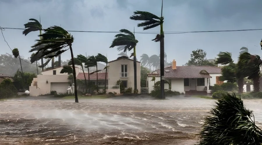
Such instances usually happen during the Northern hemisphere summers. The sea surface witnesses below average temperatures in the eastern equatorial part of the ocean. Andrej Flis od Severe Weather has revealed relevant data on the same, saying that currently, temperatures are between one to three degrees Celsius below the average. While the current temperature do not call for Niña declaration, any drop below -0.5° C would make it the 6th Atlantic Niña in forty years.
The combination of Super El Niño and La Niña has created a different weather condition in the United States. Such situations decrease the probability of cyclones by atleast 50%. The country will witness a super shield over it, which would then suppress the tropical cyclone development.
How Will A Probably Atlantic La Niña Impact Weather?
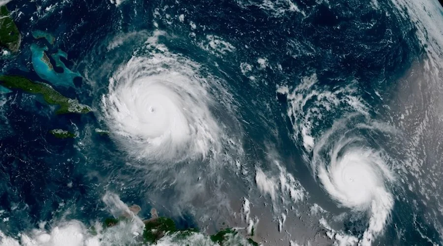
Atlantic La Niña is not as gruesome as a regular Pacific La Niña- mostly because of the scale of impact. The Pacific’s phenomenon has a global impact, while the Atlantic one limits effects to the Americas and a few parts of Africa.
Most impact is observed in increased rainfall in West Africa and the Sahel region of Africa. Some parts of northeast Brazil also get rainfall, but the inches are lower.
The cyclone and hurricane activities across the areas will witness a major shift too, should the Atlantic La Niña come into effect, Cape Verde will witness lower cyclonic activity, which dirrectly influences any hurricanes making their way towards the US. A similar decrease in hurricanes will also be observed in the Caribbean Islands and most Gulf States.
While the Atlantic La Niña is undeclared at the moment, the Super El Niño effects are clearly peaking. The entirety of the Pacific is heating up and the Climate Prediction Center had previously declared that “there’s an 81% chance it will grow to be “very strong” by its peak in the early winter.”
If the forecasts are right, this may be the worst Super El Niño in recorded history. Winters might get warmer and drier in the Northern part of the country and towards the Ohio Valley. The southern half, however, might be wetter and witness more rain and snow in comparison. Forecasters have also warned that this version could be 6.5 degrees warmer than average.
Is this development in the Atlantic Ocean Normal?
By no means is this event normal. While La Niñas are popular in the Pacific; they form every few years, the Atlantic Ocean rarely witnesses the same.
Franz Philip Tuchen, an assistant professor at the University of Miami’s Department of Ocean Sciences, has talked about the rarity of circumstances in the Atlantic Basin. He says, “Atlantic Niña events have been rather rare during the last 25 years until the recent Atlantic Niña event in 2025.”
Tuchen also claimed what most travel and weather experts already know, “We are certainly again in an era of more extreme events.” With rampant climate change, “extreme events” have become rather common and temperature and weather reports become “records” at an unnerving pace.
The End Word- What Will Happen Exactly?
The end point is that this joint phenomenon will curb the occurance of hurricanes. El Niño will create a high wind shear and dry conditions over the Atlantic and Caribbean. The area already has a high record of wind sheer- which, ultimately, will clip the chances of storms in the Basin.
But with adverse climate change in effect, the weather has turned unpredictably strong in most parts of the world. The States is no stranger to storms and Tornadoes. In more recent news, New Jersey witnessed 3+ inches of torrential rain and a tornado watch was announced in the area. Lower parts of Hudson Valley have also received flash flood warnings after the New York storm has caused widespread disruption in evacuation activities. Three more than three tornadoes yesterday were declared in Pennsylvania.
