

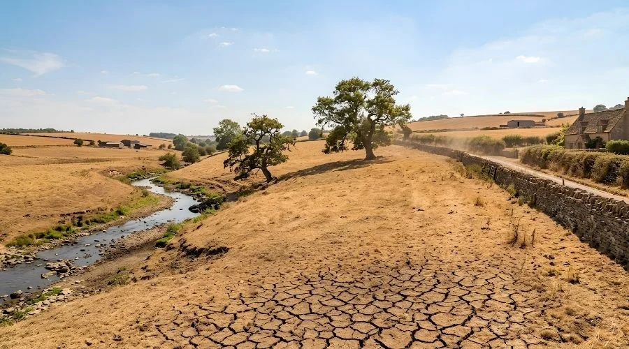
For weeks now, large parts of the UK have been living through a version of summer the country isn’t built for. Some areas of England have sat inside heatwave conditions for more than a fortnight, and it’s the longest spell without measurable rainfall since the mid-1990s.
Now, finally, there’s a shift in the air. Northerly winds are nudging in from the Atlantic, and for a good chunk of the country, that means the latest heatwave of 2026 is starting to loosen its grip. But if you’re picturing a clean break to cooler, cloudier days everywhere, it’s not that simple. This isn’t over yet, and where you happen to be standing matters more than usual.
A Cooldown That Depends on Where You’re Standing
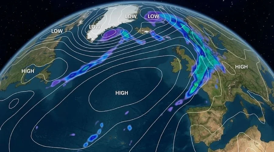
The cooldown is highly geographical in nature. High pressure has parked itself out in the Atlantic, and as the air rotates clockwise around it, a stream of cooler northerly wind is being funnelled straight down over the UK. Northern and eastern Scotland, as well as eastern England, have experienced the biggest cooling effects from the injection of less hot air, with temperatures falling by around 5 °C to below the levels of last week.
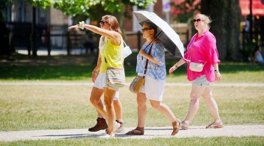
Farther to the south and west, however, things look quite different. Bournemouth’s a case in point, the Dorset town has already clocked 15 days above its 26 °C heatwave mark, and forecasters say that could run on for another week yet. Some parts of southern England and south Wales might even tip back into heatwave conditions before the week is out, just as the rest of the country starts pulling jackets back out of the wardrobe. Not so much an ending, then, as a pause with an asterisk next to it.
The Imminent Dry Spell in the UK and the Rest of Europe
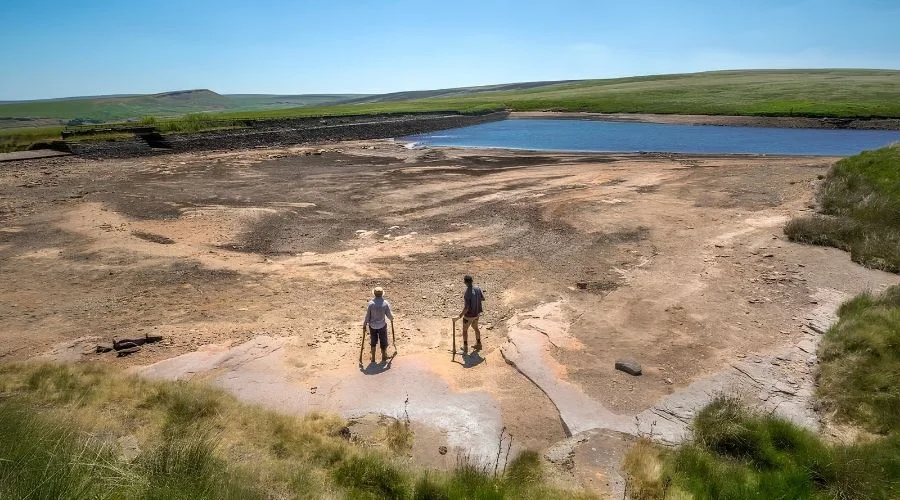
If the heat has been the headline all summer, the dryness has quietly been the more unusual story. This has been an exceptionally parched few months for much of the UK, and nowhere more so than the east and north-east of England, which have seen only around half their usual rainfall for this point in the season.
Wisley in Surrey has gone over a month without a drop, and central England as a whole is in the middle of its longest dry spell in roughly three decades, a statistic that keeps climbing with every day without rain passes. With high pressure showing no signs of budging over the coming week, that streak looks set to continue almost everywhere except the far north-west of Scotland, where frontal systems could bring a modest amount of rain. Everywhere else, at best, expect the odd coastal shower and a lot more dry, dusty ground.
What It Means If You’ve Got a Staycation Planned
Reservoirs are running low. Water companies have already brought in hosepipe bans and other restrictions because of it. If you’ve got a UK staycation planned, this matters.
You can see it everywhere. Browning lawns. Shrinking rivers. It’s happening right across the Cotswolds and Cambridgeshire.
So check ahead before you go. Some venues are tweaking their hours, e.g., the Eiffel Tower in Paris had previously cut back its visiting hours in the afternoon. Others are cutting back on watering. And that lush green view you had in mind? It might look a lot more golden right now.
Are Dry and Heating Summers Becoming the New Normal?
Zoom out for a second. This fits a pattern scientists have flagged for years – not a one-off fluke. The latest State of the UK Climate report from the Met Office makes it clear that, in recent decades, extreme weather events have ceased to be extreme. The UK has warmed by approximately 0.25 °C per decade since the 1980s, with many regions having seen a much faster rise in temperatures over the same period. It’s exactly what the report warns will keep happening.
Then there’s 1976. That legendary heatwave year still hangs over every conversation about this summer. It’s the benchmark everyone reaches for. And 2026 has spent the last few weeks creeping uncomfortably close to it, at least on some measures, even if the two summers haven’t played out quite the same way.
August Could Bring Another Round of Heat
And there’s a sting in the tail for anyone hoping this cooler spell marks the end of the story. Long-range weather charts have been flagging a possible return of serious heat in early August, with some forecast models suggesting temperatures could approach 37C and more than a dozen English counties from Kent and Sussex to Cambridgeshire and Norfolk, pushing past 30C again.
It’s worth treating those far-out numbers with a healthy pinch of salt, since long-range charts are prone to painting a hotter picture than what actually arrives. The Met Office’s own outlook is more measured, pointing to temperatures likely running above average into early August and describing conditions as having the potential to turn “very warm again,” without committing to specific numbers just yet. High pressure should stay in charge through the first half of the month. Especially down south. Dry, settled, sunny with the door left open for more hot spells later on.
So if you’ve got any outdoor adventures planned in the next few weeks – a weekend away, a garden party, or a long walk somewhere green – don’t forget to pack your sunscreens.
